
You open a geography textbook or sample PDF and see a diagram of a rock formation or landform. The flat image shows shape and layers, yet you want to understand how the same feature would look if you walked past it on a path or noticed it on a hillside during an ordinary day.

The Oxford Senior Geography XR app lets you scan a compatible page or the supplied sample PDF to bring up an interactive three-dimensional model of selected rocks and landforms. You can rotate the model, view it from different angles, and then step outside or look at nearby surroundings to record one concrete similarity or difference you notice.
First scan and model inspection
Download the free app on an iPhone or iPad running iOS 14 or later. Open it and choose the option to scan the provided sample PDF or a page from the matching textbook edition. The app recognizes the image and loads the corresponding AR model of a relief feature, landform, or rock type.
Once the model appears, rotate it with your finger and examine cross sections or stepped surfaces. The models include realistic representations of landform features and rocks that the app makes available through the scanned page. You spend a few minutes simply turning the object to see how light falls on different faces and how layers align.
If the model does not appear immediately, move the device slightly or ensure the page lies flat under even lighting. The recognition works with the printed or PDF target images supplied for this purpose.
Making the outdoor or daily link
After closing the model view, carry one simple observation prompt: look for a surface, edge, or color pattern that echoes what you just rotated on screen. This might be the way gravel layers sit along a roadside cut, the rounded shape of a park boulder, or the stepped profile of a distant hill visible from a window.
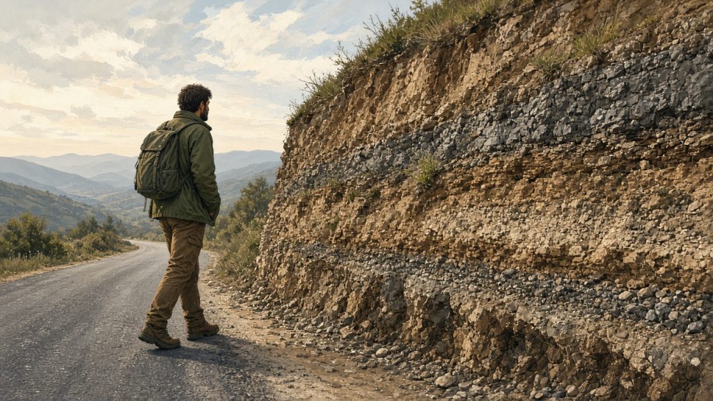
Write a short note describing the match or mismatch you observe. The goal is a single personal connection rather than a full field report. One sentence such as “The cross-section layering on the AR granite model matches the exposed face of the retaining wall near the station” is enough to complete the loop.

A modest next step
Repeat the scan-and-note sequence with one additional model from the same PDF or another compatible page on a different day. Over time the short notes accumulate into a small personal reference that ties virtual models to places you actually pass.
The activity stays within the documented capability of the app to present 3D models from scanned pages and requires only the free consumer version on supported iOS devices. No additional software or institutional access is needed.