Table of Contents
Introduction: A Resident’s Lens on Alexandria
The Quality: Flood Resilience in a Changing Climate
The Engagement Approach: Community-Based Participatory Planning
Introduction: A Resident’s Lens on Alexandria
Alexandria, Louisiana, sits at the heart of central Louisiana along the Red River. Its 46,000 residents navigate a city defined by historic resilience and modern pressures. One resident, Maya Thompson, a lifelong Alexandrian and community organizer, engages daily with the city’s most pressing need: building flood resilience amid intensifying climate risks.
This post traces Maya’s journey through one focused engagement approach and the role of extended reality technologies in amplifying her impact. The narrative stays tightly centered on Alexandria’s flood challenges, participatory planning processes, and realistic XR tools that make abstract data tangible.
The Quality: Flood Resilience in a Changing Climate
Alexandria faces recurrent flooding from the Red River and intense rainfall events. Official assessments highlight the city’s vulnerability due to aging infrastructure and low-lying neighborhoods.
The City of Alexandria’s Hazard Mitigation Plan identifies flood risk as the top priority, noting repeated events that disrupt homes, businesses, and emergency services. Residents like Maya experience these impacts firsthand, from flooded streets to repeated property damage.
Addressing flood resilience requires more than engineering fixes. It demands sustained community input to ensure solutions reflect lived experiences and protect vulnerable populations equitably.
The Engagement Approach: Community-Based Participatory Planning
Community-based participatory planning brings residents directly into the design and evaluation of flood mitigation projects. In Alexandria, this occurs through structured workshops, neighborhood mapping sessions, and feedback loops tied to the city’s capital improvement planning.
Maya participates by attending monthly meetings hosted by the Alexandria Planning Department and contributing local knowledge about drainage patterns in her Midtown neighborhood. This approach prioritizes co-creation over top-down decisions.
Unlike traditional public hearings, participatory planning emphasizes ongoing dialogue, iterative feedback, and shared ownership of outcomes. It builds trust while generating solutions grounded in both technical data and resident expertise.
How XR Facilitates Deeper Participation
Extended reality technologies transform these planning sessions. Virtual reality headsets allow participants to walk through simulated flood scenarios based on real hydrological models from the U.S. Army Corps of Engineers.
Augmented reality overlays on tablets or phones let residents visualize proposed levees, green infrastructure, or elevated roadways superimposed on actual city streets. Maya uses an AR app during neighborhood walks to mark problem spots and instantly share 3D annotations with planners.
These tools lower barriers for residents who struggle with traditional maps or technical reports. They make complex data accessible, fostering more informed and inclusive discussions that directly shape project priorities.
A Layered Narrative of Change
Maya begins her involvement after a 2024 flood event damages her family’s home. She joins a participatory planning workshop where city staff present data on flood frequency and projected increases under climate models. Initially skeptical, she finds the session sterile until XR enters the room.
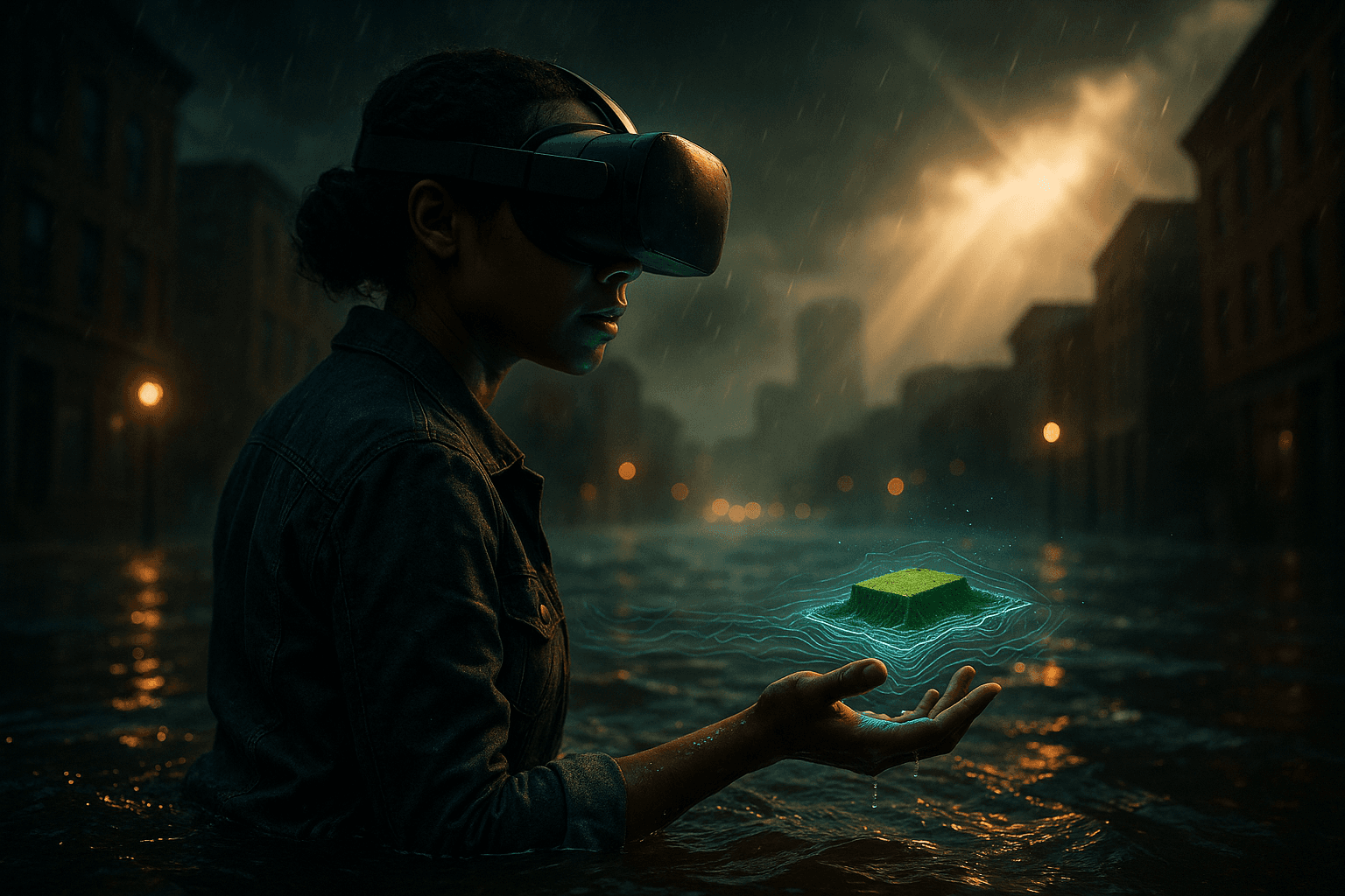
Planners distribute VR headsets loaded with a digital twin of Alexandria. Maya experiences a 100-year flood event in real time, watching water rise through her neighborhood streets. She then toggles to a proposed solution layer showing bioswales and pump stations, immediately seeing how they alter water flow. The immersive view sparks questions she had not considered from paper maps.
In follow-up sessions, Maya uses AR to document drainage issues on her block. She tags locations via the city’s participatory platform, which planners review alongside engineering simulations. Her annotations influence the final design of a neighborhood green infrastructure project, shifting emphasis toward permeable surfaces favored by residents.
Over six months, participation grows. Attendance at workshops rises 40 percent after XR demonstrations, according to city reports. Maya trains other residents on the tools, creating a ripple effect. The resulting plan secures state funding and includes measurable targets for reduced flood damage in her area.
Impacts extend beyond infrastructure. Maya reports stronger neighborhood connections and renewed confidence in local government. City metrics show faster project implementation and higher resident satisfaction scores in participating districts.
Broader Implications for Resident Agency and Urban Health
Maya’s experience in Alexandria illustrates how targeted XR applications can deepen resident agency within established participatory planning frameworks. By making flood risks and solutions visceral, technology bridges the gap between expert analysis and everyday experience.
This model raises important questions for cities nationwide. How can XR tools scale equitably across income levels and digital literacy? What safeguards ensure virtual representations accurately reflect community priorities rather than institutional biases?
Ultimately, Alexandria’s approach demonstrates that when XR serves a clear engagement method tied to a concrete urban quality, it strengthens both individual empowerment and collective urban health. Residents move from passive observers to active co-creators of their city’s future.