Table of Contents
Honolulu’s Coastal Resilience Imperative
Participatory Environmental Monitoring
XR-Enabled Visualization and Reporting
From Local Action to Urban Health
Honolulu’s Coastal Resilience Imperative
Honolulu faces growing risks from rising seas and shrinking beaches, as detailed in the Oʻahu Resilience Strategy. Higher waters endanger roads, homes, historic places, and neighborhoods along Oʻahu’s coast. By 2100, sea levels here could climb between roughly 4 and 8 feet compared to 2000 levels, according to city climate data. The strategy calls for everyday people to help shape adaptation plans that combine local know-how with official data.
This coastal vulnerability requires ongoing resident input beyond occasional meetings. The city’s Annual Sustainability Report tracks yearly progress on resilience goals and shows that steady local observations are essential. Without them, plans can miss small-scale conditions that broad satellite views overlook.
Participatory Environmental Monitoring
A key method involves residents tracking and reporting local changes like beach loss, flood patterns, and salty groundwater in their own areas. This builds on neighborhood groups and supports the resilience strategy’s push for inclusive information gathering. Similar community efforts, such as Oʻahu flood-risk surveys and king-tide projects, already show how everyday observations improve city understanding.
People note shifts using regular photos, notes, and basic measurements. This creates a sense of ownership since residents see their contributions influence city plans. It also produces detailed local records that add to the official sensors and computer models used by planners.
XR-Enabled Visualization and Reporting
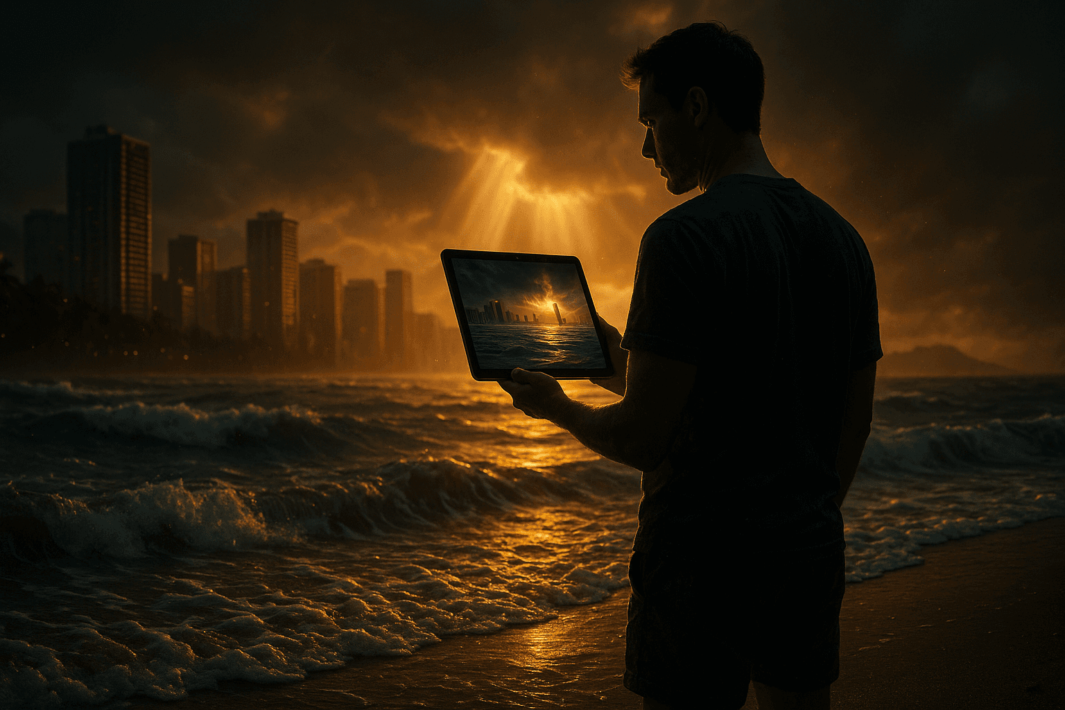
Extended reality tools turn this monitoring into an easier, more vivid experience. Augmented reality apps let users see future sea-level-rise scenes overlaid on real beaches or streets through a phone or simple headset. Standing at a familiar spot, someone can view how a one-meter rise would cover sand, buildings, and plants. Tools like NOAA’s Sea Level Rise Viewer and AR experiments in Hawaii demonstrate this approach.
Users can mark AR views with notes on erosion spots or flood events, adding exact location data. These uploads go to shared city dashboards for quick review. The result speeds up confirmation of community reports and makes risks clearer during local discussions.
XR makes climate forecasts feel real instead of abstract. People who find technical maps confusing can simply look through intuitive overlays that update with the latest projections. This hands-on feel encourages ongoing involvement and shared awareness of long-term threats.
A Resident’s Journey
Picture a longtime Waikiki resident who checks conditions monthly at low tide using an AR app. They photograph shifts in the sand line and note new debris while the app shows the same spot under 2050 and 2100 water levels. Annotated photos upload automatically with location and time details.
After several seasons, the resident spots faster erosion near a surf spot. The AR view shows projected flooding reaching a nearby community center. They post the report in the app’s shared feed, prompting neighbors to add their own notes. City staff later use the combined data to prioritize dune restoration work.
The same interface lets residents try virtual tours of possible fixes, such as raised paths or natural shorelines. They can switch between today’s view and simulated futures, offering feedback that improves designs before building starts. This loop of watching, visualizing, and refining builds trust between residents and city agencies.
From Local Action to Urban Health
Honolulu’s approach shows how XR-supported resident monitoring turns personal observations into useful guidance for climate planning. Residents shift from just hearing about policy to shaping it with their daily experience. The method improves both the amount of local data collected and community support for solutions.
Expanding these tools raises questions about fair access to the technology and how shared data is managed. When done well, however, XR helps residents take more control while supporting stronger, more adaptable cities. Honolulu’s shoreline challenges offer a test case for civic tech that values both environmental protection and broad participation.