Table of Contents
Rochester’s Call for Connected Paths
A Distinctive Need: Active Transportation for Health and Equity
One Focused Approach: Participatory Route Mapping
How XR Transforms Resident Engagement
Rochester’s Call for Connected Paths
In Rochester, Minnesota, the rhythm of daily life increasingly depends on safe, accessible routes for walking and biking. Residents navigate between homes, the Mayo Clinic campus, schools, and parks, seeking ways to move that support both personal health and community vitality.
The city’s Active Transportation Plan, adopted in 2022, highlights this priority by updating earlier bicycle master plans to address population growth and evolving land use. It emphasizes creating connections that reduce car dependence and foster healthier neighborhoods.
A Distinctive Need: Active Transportation for Health and Equity
Rochester’s official plans identify improved walking and biking infrastructure as a core quality and need. The plan aims to make the community safer and healthier through accessible links between businesses, neighborhoods, schools, and destinations. This focus stems from recognized studies on active transportation’s role in reducing chronic disease and promoting equity in access.
Official documents, including the city’s comprehensive plan and growth strategies, tie this need directly to broader goals of wellness and inclusive development. Residents, particularly those without reliable car access, benefit when routes are thoughtfully designed and maintained.
One Focused Approach: Participatory Route Mapping
The core engagement approach centers on participatory route mapping, where residents contribute local knowledge to identify, prioritize, and refine active transportation corridors. This method draws directly from the city’s emphasis on community input in the Active Transportation Plan process.
Through workshops, surveys, and digital tools, residents highlight gaps, safety concerns, and desired connections based on their lived experience. The approach ensures plans reflect real usage patterns rather than top-down assumptions alone.
How XR Transforms Resident Engagement
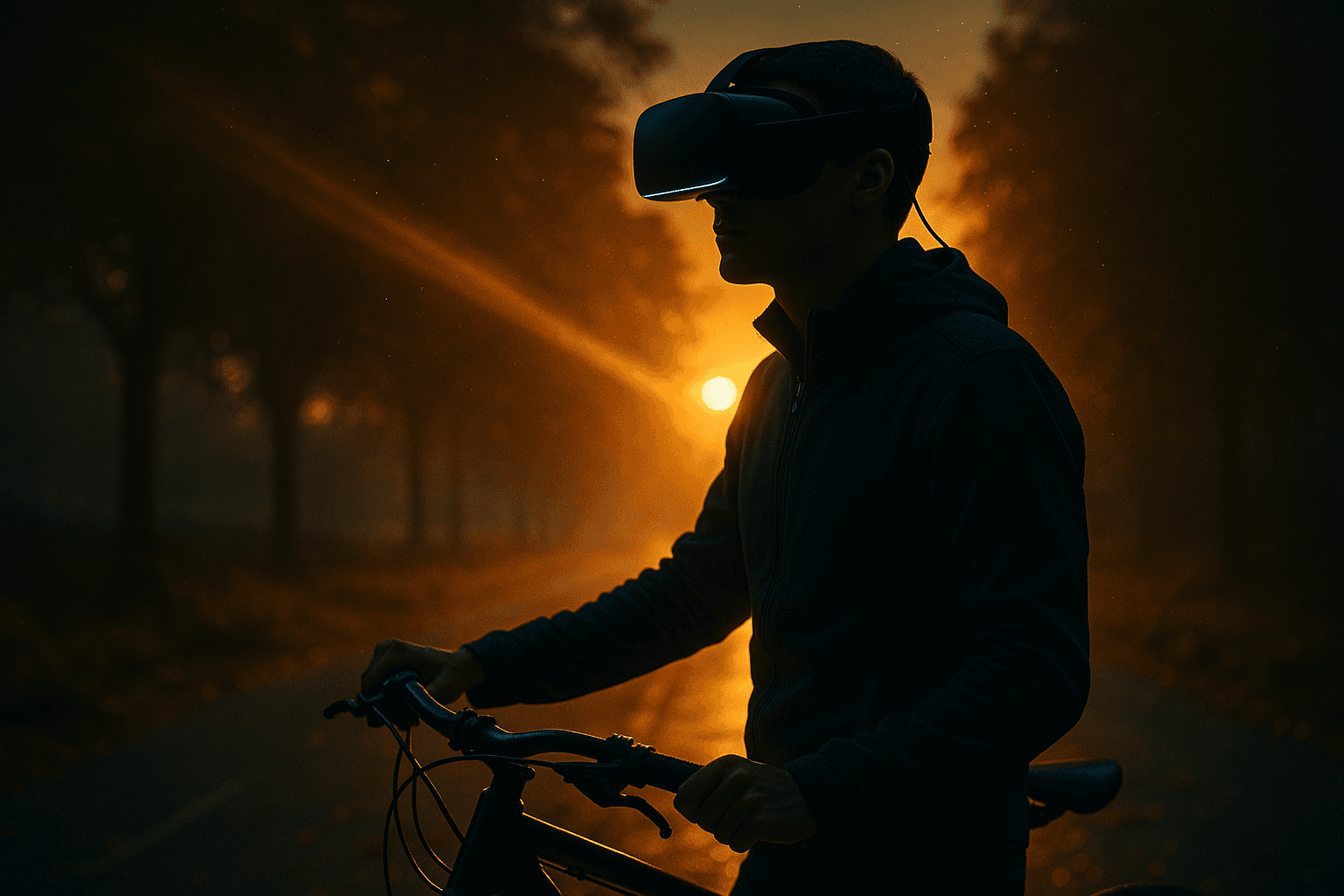
Extended Reality technologies enhance participatory route mapping by letting residents experience proposed changes immersively before any construction begins. Augmented reality apps overlay planned bike lanes or pedestrian plazas onto existing streets, allowing users to “walk” or “bike” virtual routes from their phones or headsets during neighborhood walks.
Virtual reality sessions hosted at community centers enable groups to navigate full-scale simulations of new paths, noting lighting, intersections, and accessibility features. Feedback collected in these XR environments feeds directly into planning revisions, making abstract maps tangible and personal.
One resident, for example, uses an AR tool on her daily commute to flag a problematic crosswalk near her child’s school. City planners review the geotagged input alongside aggregated data from dozens of similar sessions, adjusting designs to include better sightlines and slower traffic calming measures.
Real Actions, Tangible Impacts
Residents like longtime Rochester volunteer Marcus participate by joining XR-enabled mapping events organized through the city’s community development department. They don VR headsets to test simulated routes connecting downtown to residential areas south of the river, suggesting additions like shaded rest stops or connections to existing trails.
These sessions have led to concrete outcomes, such as prioritized funding for protected bike lanes along key corridors identified in resident XR feedback. Participation rises because the technology lowers barriers—people who struggle with traditional maps or public meetings can engage visually and experientially.
Impacts include measurable increases in walking and biking rates reported in follow-up city surveys, alongside reduced reported safety incidents at mapped intersections. The approach builds trust as residents see their input shape final infrastructure decisions.
Broader Questions of Agency and Urban Health
This focused example in Rochester illustrates how XR can deepen resident agency in shaping the built environment around active transportation. When people visualize and interact with future possibilities in realistic detail, engagement shifts from passive comment to active co-creation.
The model raises important questions for other cities: How might similar XR tools scale to address mobility needs while ensuring equitable access across demographics? And in what ways does enhanced participation ultimately strengthen the health and resilience of entire urban systems?
By anchoring one city’s efforts in a single, well-defined need and approach, Rochester demonstrates the potential for technology to make civic life more responsive, inclusive, and forward-looking.