Table of Contents
Introduction: A Resident's Connection to Salem's Waterfront
Salem's Distinctive Waterfront Revitalization Need
Core Engagement Approach: Participatory Design Workshops
A Resident's Journey: Engaging Through Workshops
XR Facilitation: Bringing Visions to Life
Tangible Impacts on Participation and Outcomes
Connecting to Resident Agency and Urban Health
Introduction: A Resident's Connection to Salem's Waterfront
Salem, Massachusetts, balances its historic roots with the needs of a working harbor where residents like Maria, a lifelong local and small business owner, view the waterfront as an essential community resource. Everyday people shape its future through hands-on community processes that guide careful changes.
Salem's waterfront revitalization involves ongoing efforts to improve public access and resilience while keeping port activities intact, supported by the city's Municipal Harbor Plan that draws on resident input at multiple stages.
Salem's Distinctive Waterfront Revitalization Need
Salem's harbor requires better pedestrian connections, mixed-use spaces, and climate-resilient infrastructure that respects working port operations. The plan calls for expanding green areas and seasonal access points without disrupting fishing or ferry activities that locals rely on daily.
City planning documents stress integrating open spaces with port functions and preparing for rising seas through adaptive designs. This focus matters because it shapes daily routines for residents who fish, commute, or enjoy walks by the water.
The 2023 Harbor Plan renewal and earlier visioning like Imagine Salem highlight these priorities as key to long-term vitality, based on economic studies and public feedback.
Core Engagement Approach: Participatory Design Workshops
Residents contribute to waterfront plans through participatory design workshops run by the city and partners. These sessions gather neighbors, business owners, and stakeholders to review ideas, propose adjustments, and rank features such as plazas or pathways.
Facilitated meetings use maps, models, and group talks to build shared visions and site-specific comments. The method emphasizes active collaboration over surveys or lectures alone.
Workshops take place at important planning points for ongoing refinement, drawing on local insights to match the harbor's practical needs, as shown in the dozen public meetings held during the recent plan update.
A Resident's Journey: Engaging Through Workshops
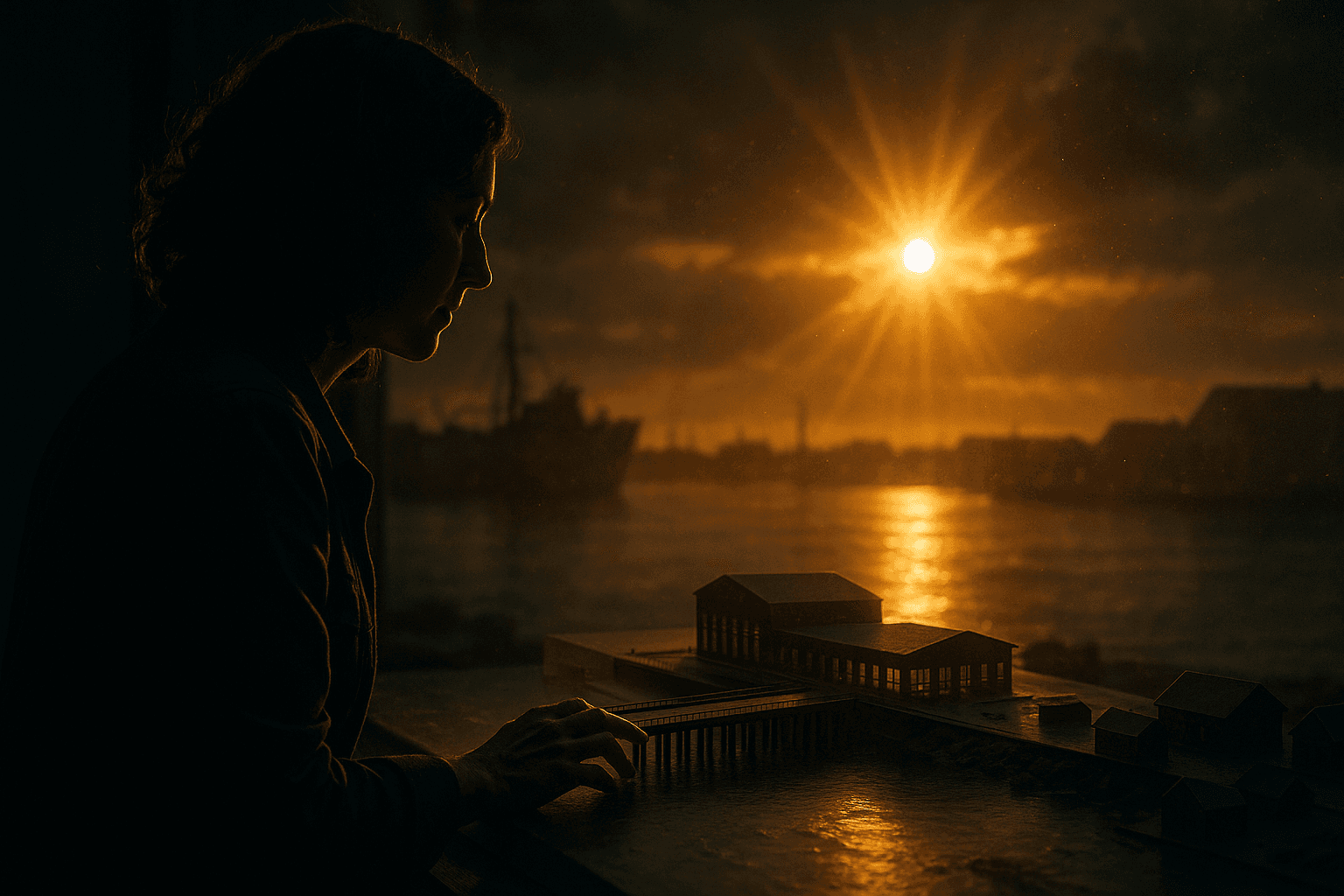
Maria joins her first workshop after seeing construction near Derby Wharf. In a community room with printed plans and simple pier models, she and neighbors weigh options like extra seating versus boat access or lighting that balances safety with wildlife needs.
Her daily observations about erosion and gathering spots add details missing from official maps. Later meetings build on earlier notes as participants mark priorities with stickers and tweak drawings together.
Ideas shift quickly from discussion to visible sketches, giving a clear sense of input on features that affect real waterfront use.
XR Facilitation: Bringing Visions to Life
Extended reality tools enhance workshops by letting participants see proposals in context. Tablet apps overlay 3D models of new piers or paths onto live harbor views, with options to adjust benches or trees instantly.
VR headsets offer quick immersive tours of lighting schemes or flood-resistant designs. These visuals connect directly to group talks, showing how suggestions affect views, access, and port functions better than drawings alone.
Similar AR approaches in other cities improve understanding of plans, as noted in planning resources like Imagine Salem and broader studies on digital tools for community input.
Tangible Impacts on Participation and Outcomes
XR tools have boosted workshop turnout and idea quality, allowing more residents to experiment with overlays and suggest details like kayak storage or event areas. This leads to refined plans with added access points shaped by real-time sightline discussions.
Follow-up notes show higher satisfaction because participants viewed realistic versions of their feedback before final choices. The approach helps people with different spatial skills join in while keeping the focus on shared dialogue.
Session records indicate quicker agreement on trade-offs when dynamic visuals support traditional materials, supporting more inclusive results.
Connecting to Resident Agency and Urban Health
Maria's story shows how workshops strengthened by XR tools give residents real influence over their surroundings. Active co-design of public spaces often improves mental and physical health through easier nature access, safer walks, and welcoming spots for all.
Salem's approach points to benefits for similar historic waterfront towns by building urban resilience through ongoing community involvement.
Technology works best here by supporting human collaboration, helping create responsive cities where local voices guide lasting decisions.